- This event has passed.
Annual Congress 2021 [Online]
10 September 2021 to 25 September 2021 CEST
Event Description
Welkom, velkommen, benvinguts, добредојде, witajcie, laipni lūdzam, üdvözlet,
From 10-25 september the Online AC 2021 takes place in the Netherlands. The Annual congress is the biggest event of the year and more than 200 European geography students are welcomed. This years edition is dedicated to the topic ‘Mapping the Future’.
EGEA targets European students and professionals in the field of Geography to encourage sharing, networking, volunteering and alternative informal peer-learning. We empower young geographers and encourage their active participation to contribute to a better world.
For questions, you can contact us on: AC2020@EGEA.eu
Links to public events
Career Talks | 16 Sept 16:00 CEST
https://www.wonder.me/r?id=b1f29c21-b378-468b-8705-5128454a1589
Green Activity – Guerilla Gardening | 21 Sept 19:00 – 21:00 CEST
https://us02web.zoom.us/j/87578427623?pwd=K2FjOHYvZUowV3hVSjNkSnVERHY0dz09
Meeting ID: 875 7842 7623
Passcode: 907308
Registration
Register via the button on the right to participate in the Annual Congress 2021!
Programme
Week 36 
Week 37 
Week 38
Click on image to enlarge!
Science at the AC2021
Click on the titles below for information about the scientific program. More information will be added in the near future. A digital certificate will be given to participants of GeoLabs and workshops!
The Dutch are well known for their fight against the water, but what happens when we need to give up some of our land to properly protect the people against the rising sea levels? This is something professor Middelkoop and professor Vu from the university of Utrecht enthusiastically dive into.
It is a multidisciplinary challenge that will require all of us to work together and put our knowledge to the test. In this interactive lecture we will discuss the problems and opportunities that arise when trying to free up space for the sea in such a densely populated country as the Netherlands.
It is up to you to figure out how to tackle this situation.
This lecture will be held monday the 13th of september from 12:00 till 14:00 CET by professor Hans Middelkoop and his partners. Tibor from EGEA Leuven is ready to challenge you!
Of course we are all familiar with the sustainable development goals. But how do we turn these abstract concepts into practice?
Project manager at SDG Nederland Mena Leila Kilani will cover the small-scale challenges of integrating the SDG’s in daily practice in both personal and organizational life. In the other half of this lecture, professor Kraak will be talking about his expertise on how to visualize the SDG’s on a global scale. Together, they will show how SDG’s can be turned from abstract concepts to visible change.
The first half of this lecture is presented by professor Menno-Jan Kraak from the university of Twente, followed by project manager Mena Leila Kilan from SDG Nederland. This lecture will take place on the 14th of september from 20:00 till 22:00 CET.
Of course mapping the future is a challenging task, which increasingly asks for skilled experts. GIS can help solve problems, as it can identify where and how such issues could be tackled. In this workshop, we’ll explore different features of GIS by diving into more advanced methods. It will use a case close to our traveler’s hearts: AirBnB.
This workshop is especially interesting for everyone who wants to level-up their GIS skills. Please be aware that participating in this advanced GIS workshop requires GIS experience!
This workshop is a cooperation with professor Egbert van der Zee from the University of Utrecht. It is guided by our GIS specialists Max and Marcel from EGEA Jena and will take place on saturday the 18th of september from 10:00-16:00 CET (with a nice lunch break from 12:00 till 14:00).
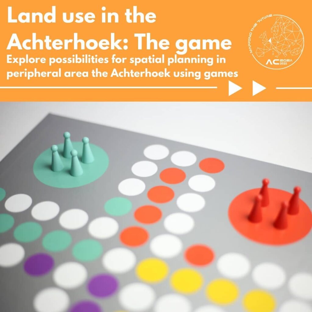
Peripheral areas often face different problems compared to centre areas. As youth leave the area and the population ages, challenges arise for spatial planning and service provision. This workshop will look at such issues in the Achterhoek, a peripheral area in the Netherlands where the congress originally would have taken place.
The city of Groenlo had given us quite a challenge, but spatial planning expert (and old EGEAn) Martinus from Kadaster has given us some handholds to tackle this. Together, we will figure out how Groenlo can use spatial planning to solve their problems. We will do so not by diving into science but with a rather unique method: games!
This GeoLab uses a game designed by Kadaster. The case is designed with the help of local ambassadors from the Achterhoek. Our lovely EGEAn Borna from Zagreb is ready to moderate this workshop and give you all the help you need. This workshop will take place on Saturday the 18th from 10:00-16:00 CET (with a nice lunch break from 12:00-14:00 CET).
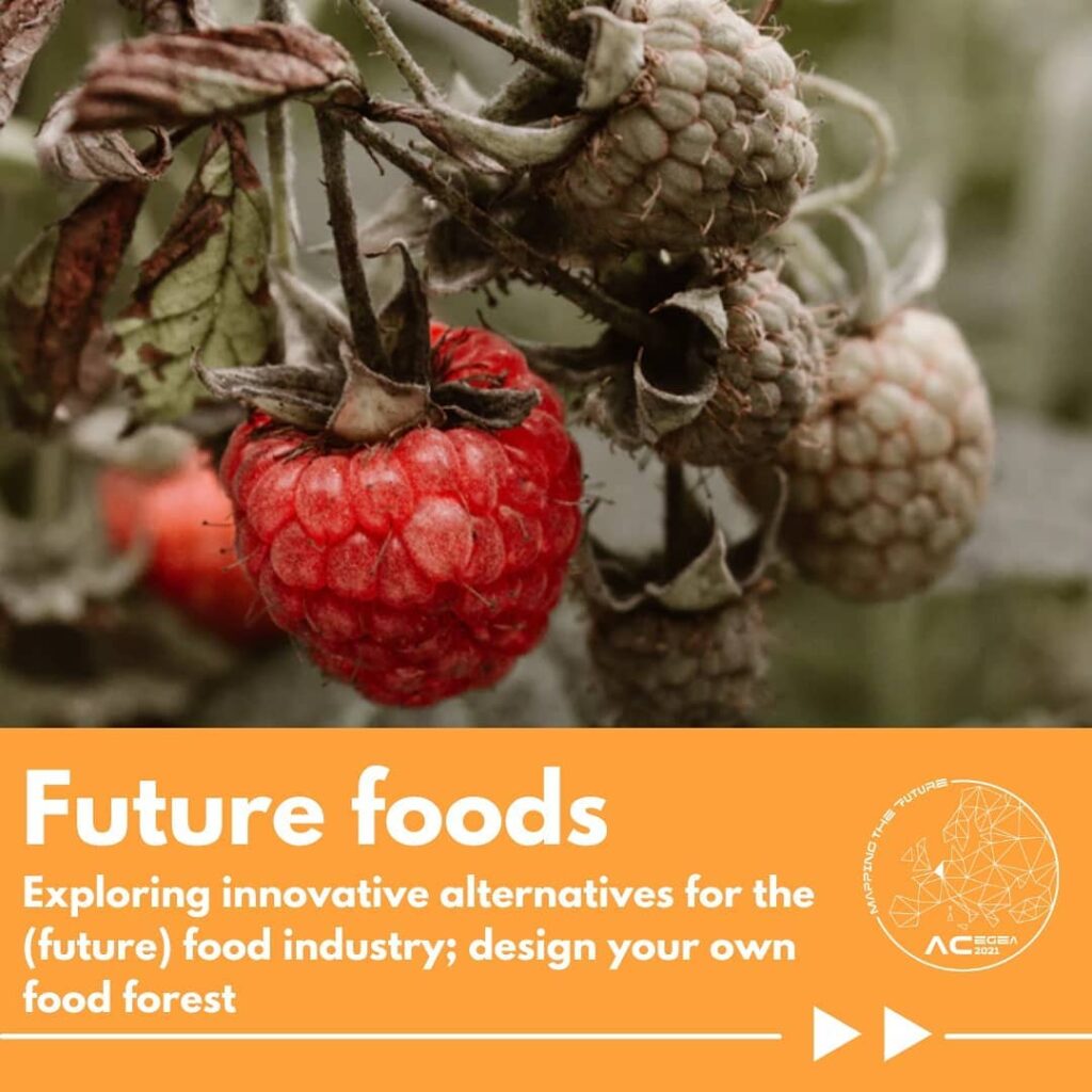
The world’s population is growing: more mouths are to be fed, while at the same time our food system has proven unsustainable. Many alternative systems have been suggested, but each has its limitations. At the start of this GeoLab Professor Jansma will cover a few of these alternative future food systems. Afterwards, it is your turn to explore the possibilities of one of these alternatives: food forests.
Together with professional food forest designers Iwein and Andreas you will learn the challenges and possibilities food forests can offer. In the following sessions you will discover this hands-on, by designing your own food forests.
This GeoLab features professor Jan Eelco Jansma from the University of Wageningen and food forest specialist Iwein Fuld. It is led by Katri and Milja from EGEA Oulu. It will take place over the course of four sessions, on wednesday and friday the 15th, 17th, 22nd and 24th from 15:00-17:00 CET.
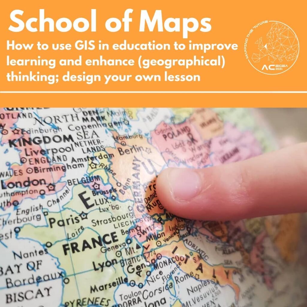
GIS is not just important in our work as geography scientists. It’s also increasingly used in high-schools. Together with professor Tim Favier and expert Tom Kuijpers we’ll explore how maps could be used to teach youth about a diverse range of topics and how GIS can contribute to this.
This GeoLab is for everyone with interest in education in general, it is especially useful for the future teachers among us and for everyone that wants to level-up their basic arcGIS skills. It’s a creative challenge that can help future students understand difficult topics through our favourite medium: Maps! During the session you can pick any topic you like or have great expertise in to transform into a fun and educational lesson.
This interesting topic will be introduced to us by professor Tim Favier from the University of Utrecht and Tom Kuijpers from Esri Nederland. Our very own specialists, Malte from EGEA Osnabrück and Marek from EGEA Praha, will guide this GeoLab. The four sessions will be the same as the other GeoLab, on wednesday and friday the 15th and 17th and the 22nd and 24th from 15:00-17:00 CET.
Partners of the Annual Congress

The Netherlands’ Cadastre, Land Registry and Mapping Agency – in short Kadaster – collects and registers administrative and spatial data on property and the rights involved. This also goes for ships, aircraft and telecom networks. Doing so, Kadaster protects legal certainty. We are also responsible for national mapping and maintenance of the national reference coordinate system. Furthermore, we are an advisory body for land-use issues and national spatial data infrastructures, also operating internationally.

The Royal Dutch Geographical Society (KNAG) is one of the AC’s major sponsors. Through their fund for educational and academic geographical events (FEGOO) they have helped realise the Annual congress. The fund arose from EUGEO’s first congress in 2006. KNAG is the leading geography network in The Netherlands since 1873 as well as the association for Geography education.

Radboud University – Geography Planning and Environment. The department of Geography, Planning and Environment in Nijmegen is a generous sponsor for the AC2021. Find more information, including their spatial master programmes, by clicking the logo!
As a long term partner of EGEA Europe and as important contributor to the AC2021, Utrecht University cannot be left out here. Various employees have contributed to the programme and realisation of this Annual Congress. They offer a great number of master programmes in the whole area of geosciences. Find out more on their Master Open Day!
The Faculty of GeoSciences would like to invite you to the Master’s Online Open Day of the University of Utrecht on Wednesday 13 October 2021.
The online webinars give you the opportunity to learn about the Master’s programmes you are interested in. Experience the stories of the students, staff, ask your questions and discover which Master’s programme is the right choice for you.
You can find more information about the Master’s Online Open Day and registration using this link: https://www.uu.nl/…/contact-and-more-infor…/masters-open-day

Event organisers
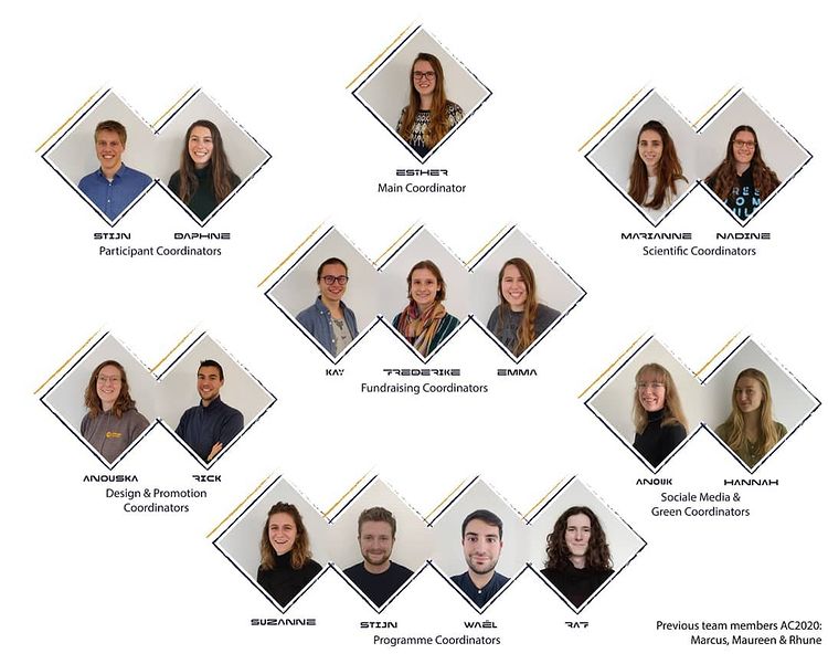
Organising entities
EGEA Nijmegen
EGEA Utrecht
Event location
This is an online event! Participate from anywhere in, or outside, Europe!